Day 3: Into the Mountains of Gaspésie
DAY THREE: AT A GLANCE
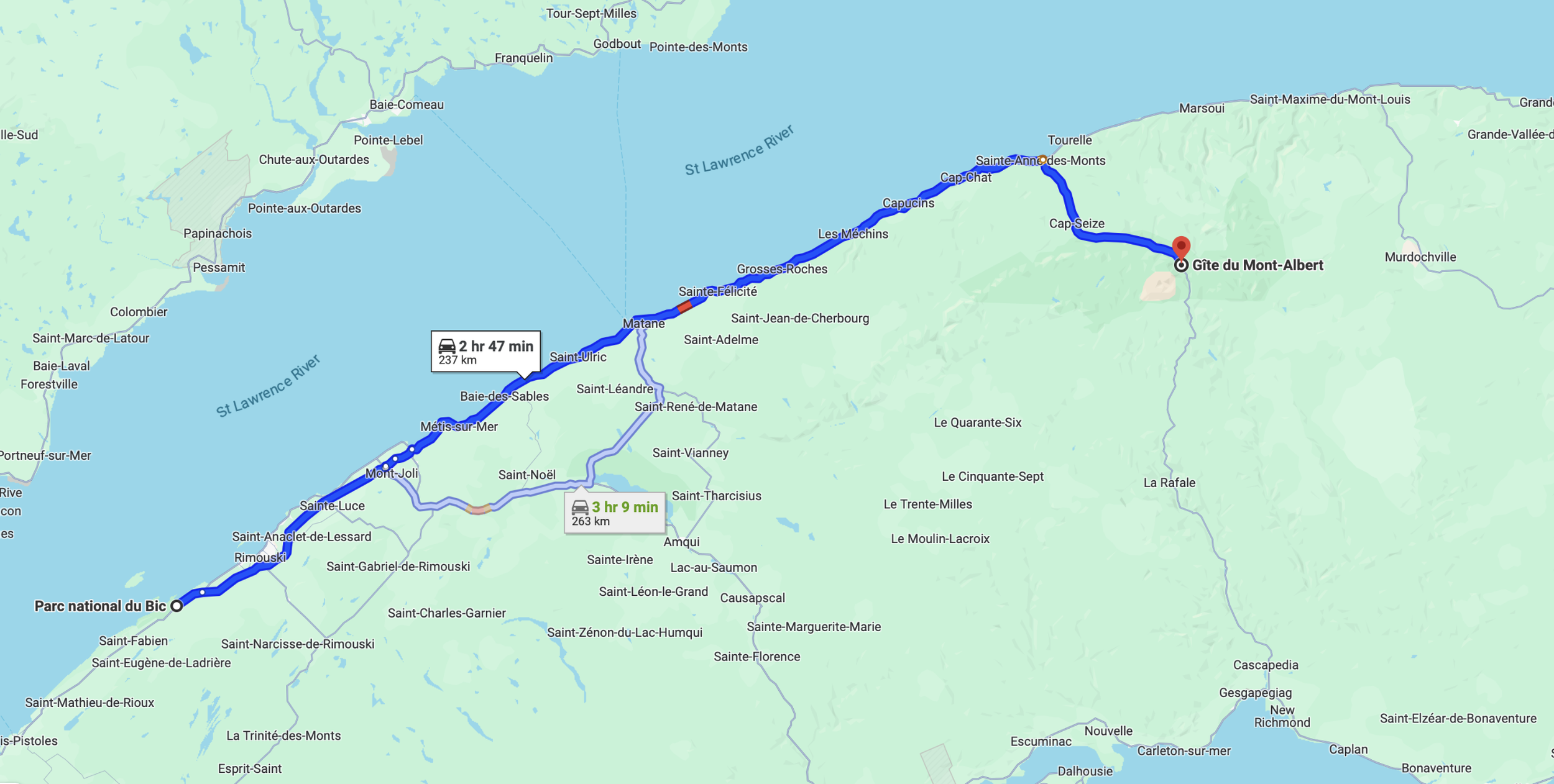
Starting point: Parc national du Bic, QC, Canada
Ending point: Parc National de la Gaspésie, QC, Canada
Starting mileage: 11,113
Ending mileage: 11,270
Daily total (miles): 157
Trip total (miles): 742
Today would take us from the coast and into the mountains, where we’d spend the next two days. The location? Parc National de la Gaspésie. If I’m being totally honest, I’ve always loved the sea more than mountains; I’m drawn to all things maritime and coastal. While so many flock to our state for its majestic White Mountains, I’m more at home along our itty-bitty 18-mile-long coastline. So when it came to planning this trip, my heart said to skip the detour inland and into the mountains, but I also wanted for us to explore as much as possible and take in all the area had to offer. Thus, two nights in the mountains. And, now a few days later as I write this, I’m so glad we included this stop!
By 9am, the van was packed and we were on our way to Gaspésie National Park. The trip along Route 132 was beautiful, and we took our time, stopping along the way for a tourist center (SUCH a wonderful conversation with the woman working there), a few photos of the St. Lawrence, a fill-up on gas (and a much-needed scrub of the dead-bug-covered windshield!), a bathroom stop, and groceries.
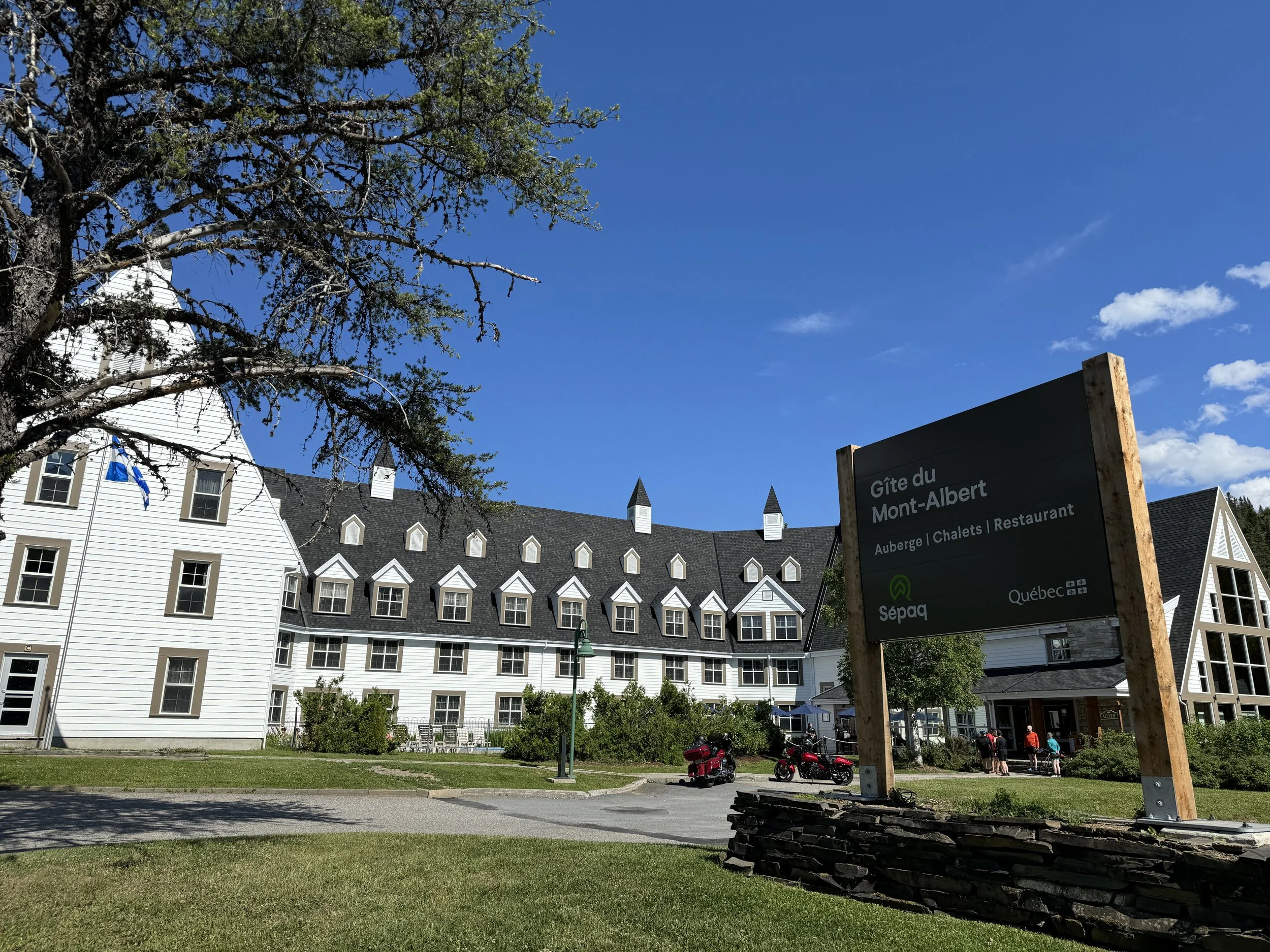
Around 2pm, we arrived at our destination, a mountainview cabin at the Gîte du Mont-Albert, another of Québec’s national parks. The cabin was the first of our “indoor stays” scattered throughout the trip; with a kitchen, living room, bathroom, and two bedrooms (apparently the key to our long marriage!), the cabin would be a nice break from the first two days/nights in the van. Truth be told, though, I think I’d prefer to be in the van for the entire trip. However, I’m guessing G does not share that opinion!
After checking in, unloading the van, and snapping a few photos of the inside/outside of the cabin, we walked the short trail to the main discovery/information center. We picked up a few stickers for the cooler (priorities!) and then walked through the incredible exhibit that outlined the geographical significance of the area. I was interested in learning more because 1) I’m a total nerd, and 2) I’m really not as knowledgeable as I wish I were when it comes to both geography and geology. For example, one of the most interesting facts that I had come across in my trip planning and seeing in the exhibit was that the mountains of this area are part of (subranges of) the same Appalachian mountain range that cuts through New England and down into the southeastern United States; truth be told, I had no idea the Appalachians ran this far north and east—and continued even farther, into Newfoundland and Labrador! Many of the trails in this park (which we flatland-loving walkers would NOT be hiking!!) are part of the Sentier international des Appalaches, SIA or, the International Appalachian Trail (IAT).
The park’s webpage also provides specific information about the mountain ranges of Gaspésie:
Two mountain ranges cover the park's territory: the Chic-Chocs mountains, a name well-known among outdoor enthusiasts, including Mont Albert and Mont Logan, and on the East side, the McGerrigle mountains, including the highest peak in southern Quebec, Mont Jacques-Cartier. These massifs gather more than 25 peaks above 1000 m.
With plenty of light left in the day (love these days around the summer equinox!), we decided to walk the La-Chute-Sainte-Anne trail, a short 1.7km trail along the river leading to a great view of the Sainte-Anne waterfall. Absolutely gorgeous!
After our walk, we decided to grab an early dinner in the more casual restaurant of the main hotel; unfortunately, it was a mixed bag. While G enjoyed a dish of poutine with pulled pork, my burger—thought it looked delicious—wasn’t fantastic. After a few bites, I was done. However, my fries and side salad were great, as were the local nonalcoholic brews.
And just like that, Day 3 of the trip is in the books—tomorrow, another full day at Gaspésie!


