Day 2: Parc national du Bic & Rimouski
DAY TWO: AT A GLANCE
Starting point: Parc national du Bic, QC, Canada
Ending point: Parc national du Bic, QC, Canada
Starting mileage: 11,055
Ending mileage: 11,113
Daily total (miles): 58
Trip total (miles): 585
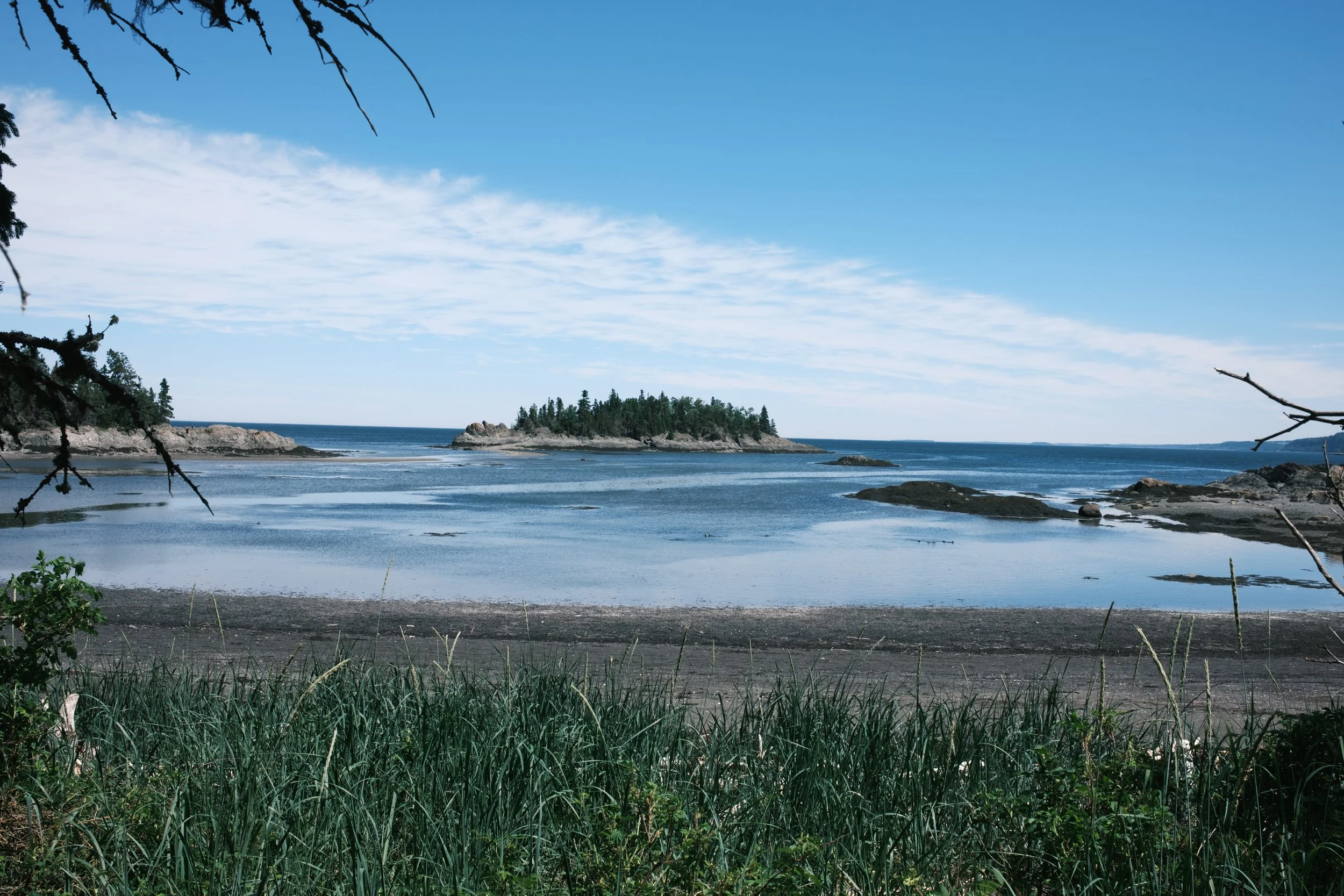
One of the many coastal views along Le Chemin-du-Nord trail.
Day two of our road trip and the first full day of adventuring and exploring begins! I had initially planned our route around the Gaspé Peninsula in a counter-clockwise fashion; in fact, I had planned a bunch of different options for this particular trip, including taking Maine’s Route 1 all the way to its start (or terminus, depending on your perspective!) in Fort Kent, Maine. But once I finally decided on all the details, the itinerary we’d follow would start (and not end) at Parc national du Bic, one of the many Québec parks managed by Sépaq, the société des établissements de plein air du Québec . Québec calls these parks national parks, not to be confused with the national parks of Canada, which are managed by Parks Canada (we’ll be visiting a few of those on this trip, too!).
Parc national du Bic was founded in 1984 and is well-known for its large populations of seals—alas, due to exploring mostly during low tide, we didn’t see any. I’m a sucker for any location near/on water, so the coastal location, geography and ecosystem of Bic had me feeling right at home and in my element. Bic National Park (from here on out, I’ll use the English translation) is located in Bas-Saint-Laurent tourist region of Québec, about 516km (320miles) from Montreal and 295km (183miles) from Québec City. The park is on the St. Lawrence River, which, as I’m soon realizing, is not at all like any “river” I’ve ever seen; to say it is massive or awe-inspiring would be understatements. The St. Lawrence River and Seaway is a major international waterway that connects the Great Lakes to the Atlantic Ocean, and a section of the river serves as the boundary between Canada and the United States. As vast as it is, with its gentle waves and deep blues, I kept forgetting we were not at ocean’s edge! As I’m learning, the St. Lawrence, which originates in the Great Lakes, is divided into three sections: the River, the Estuary and the Gulf. At this point (actually, ever since we passed Quebec City), we were on the estuary—later on in our trip, we’d experience its gulf.
Up first for the day was a stop in the Ferme Rioux Discovery and Visitor Centre, where we picked up another info guide and purchased a few stickers for our cooler (G also picked up a tee and hat!). Since we have a fridge in this van, we’ve more or less retired the huge 45L YETI cooler that accompanied us on our first roadtrip. These days, for extra food storage and for a convenient “step” up into the pop top, we use a smaller 35L YETI gifted to us by G’s dad. But just as we had with our previous cooler, we’ll be collecting stickers along the way to keep track of our travels and decorate the this one.
Our first activity was the Le Chemin-du-Nord trail, a gorgeous walk along the coast. We picked up the trail right from the Ferme Rioux Discovery and Visitor Centre and enjoyed a gorgeous along the coast. As it was low tide, we were able to venture out among the rocks a bit and explore the different beach access points.

Lining the trail were massive shrubs of beach roses, such a common sight in coastal locations.
Also along the trail were several buildings and homes, or as noted in the trail description “evidence of past human occupation.” Some of these were free to explore inside and out, while others were closed to visitors. Still, reminders of life along this particular sea.


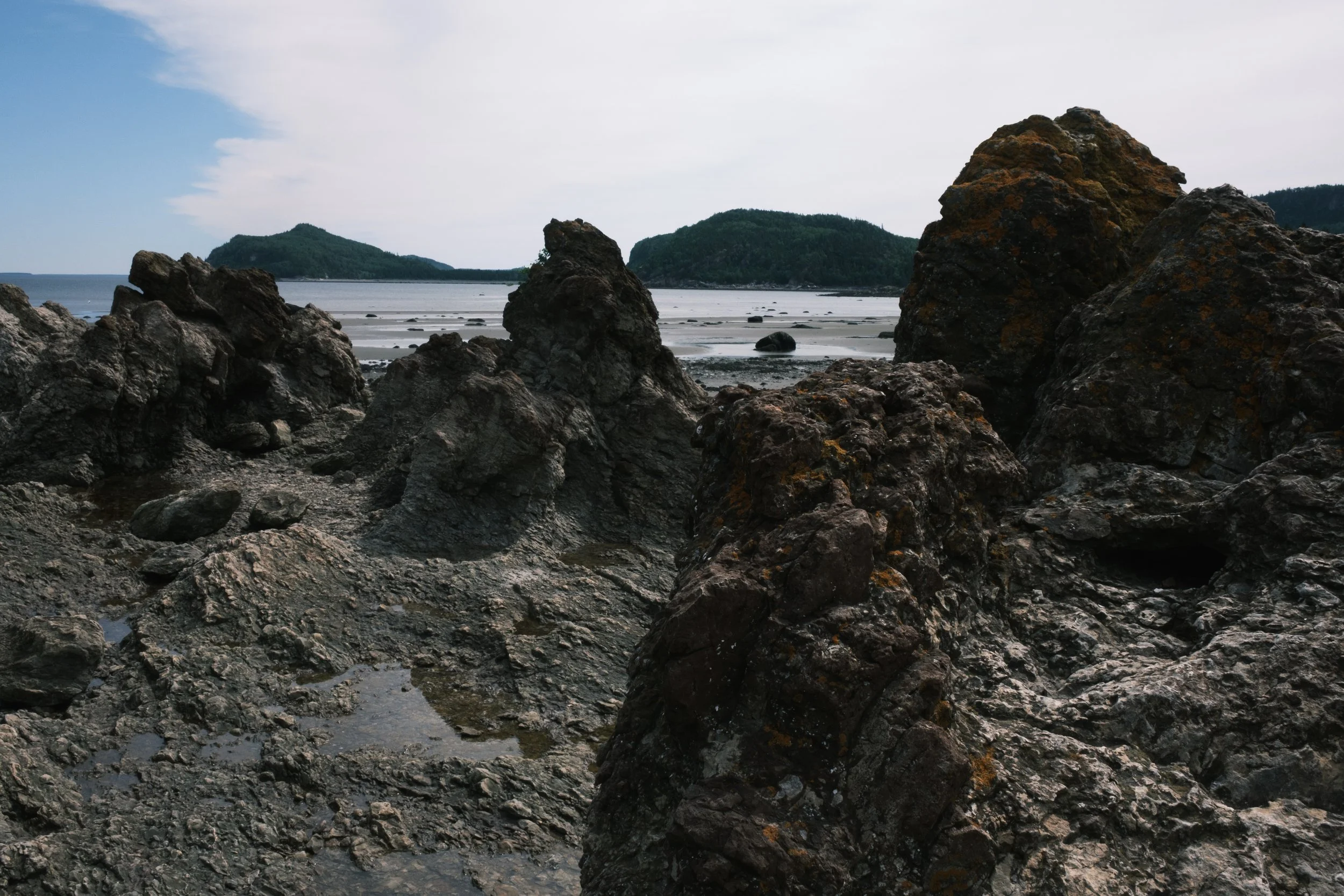
The trail connects to the Le Grand Tour, a hike that hugs the coast, scrambles over rocks including the jagged outcropping of Cap-à-l'Orignal (see below), and must be timed according to the tides. Le Chemin-du-Nord was enough for us—the trail was absolutely stunning and served as a great introduction to not only this trip but to the area in general.


After our walk, we decided to explore the surrounding area, check out one of the many lighthouses of the Gaspé Peninsula, and grab a bite to eat before returning to the park. First up, the Pointe-au-Père Lighthouse National Historic Site, managed by Parks Canada. Since first moving to New Hampshire to attend college in 1993, I fell in love with the many lighthouses dotting the New England coastline; the same is true for those we’ve visited in Atlantic Canada. At 33m tall (108 feet), the Pointe-au-Père Lighthouse is the second largest in eastern Canada and just stunning. While I didn’t enter this lighthouse to climb up its 128 steps to the top, I now kind of wish I had—but, alas, something to return to do!

Also on the same grounds as the lighthouse are the the Empress of Ireland Museum, detailing the 1914 sinking of the ship, which remains the greatest Maritime tragedy in Canadian history, and the publicly accessible Onondaga submarine. G and I didn’t go into either on this visit—but again, perhaps on another (return) visit!


By this time (2p), we were both hungry, so we opted to head off for a late lunch/early dinner in Rimouski at Crepe Chignon—so, so good! We both ordered salads and crepes; I had the chest la mienne (cranberries, apple filling, cinnamon, and mild cheddar) and G had the Lord Bleu (spinach, ham, bleu cheese, and cheese sauce).


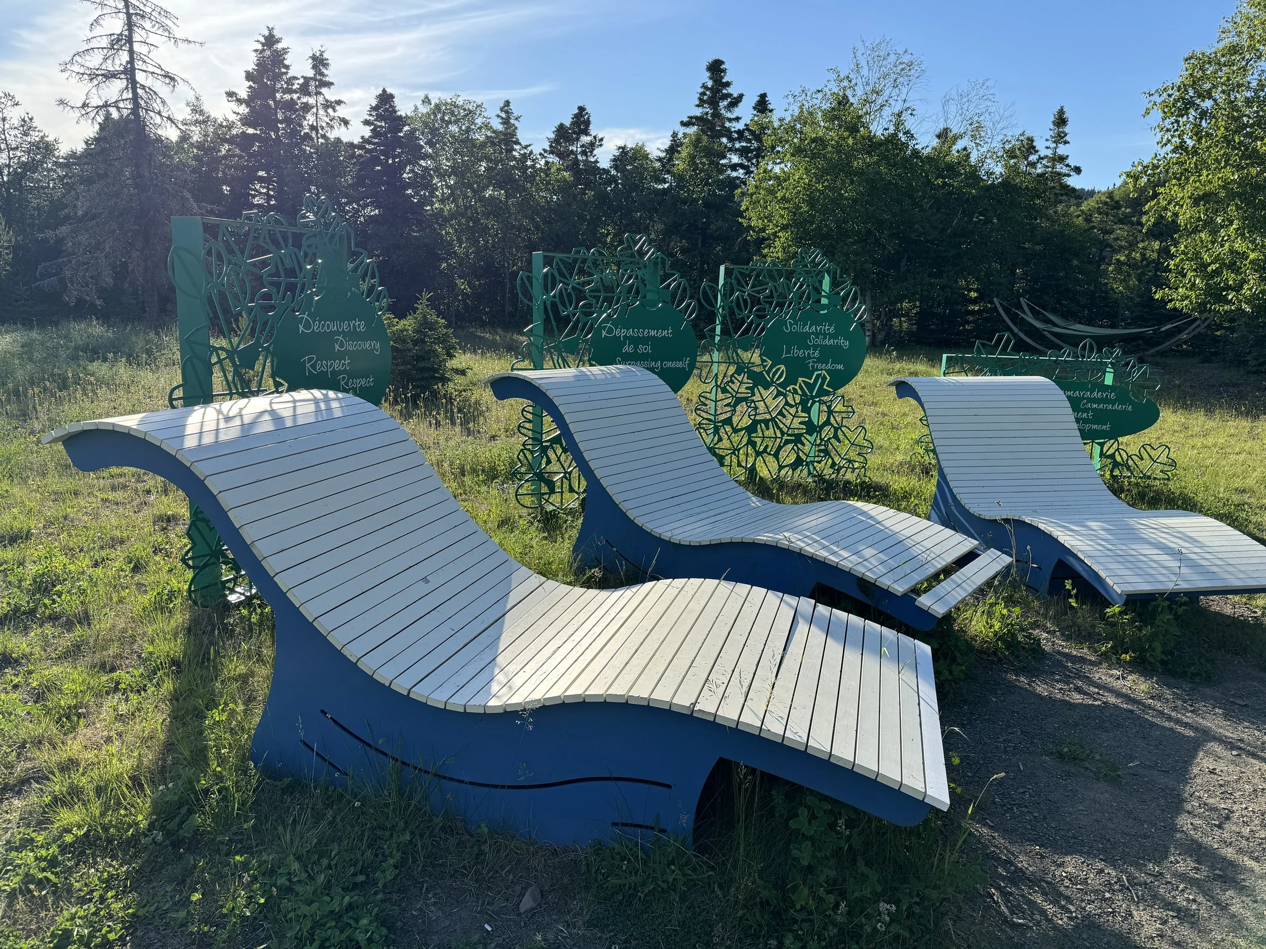
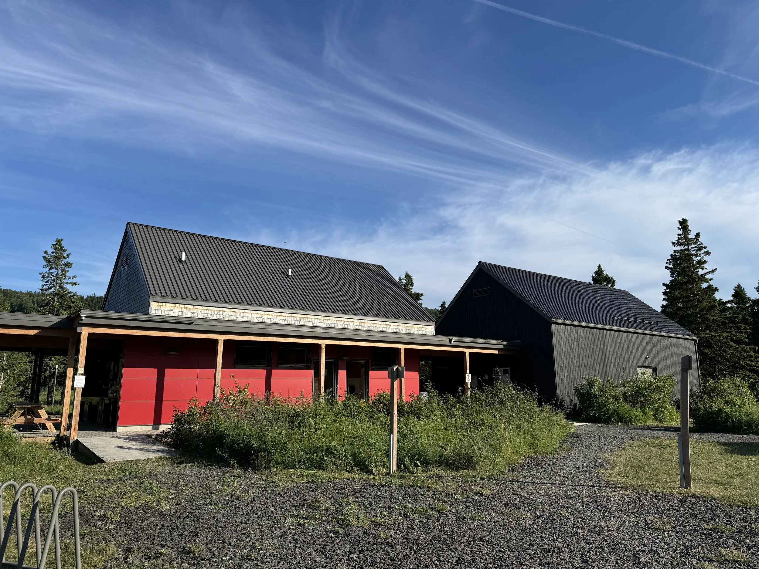
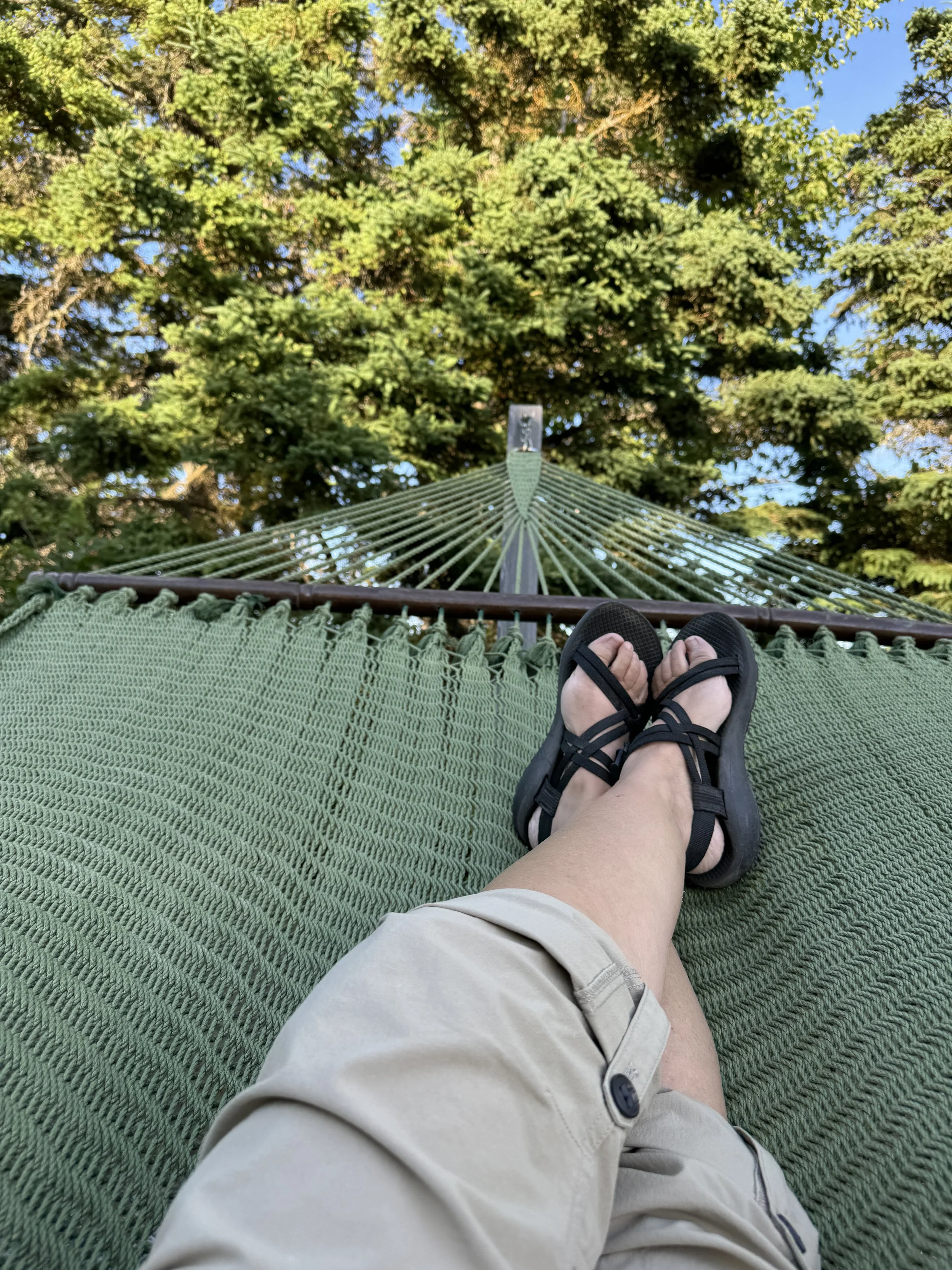
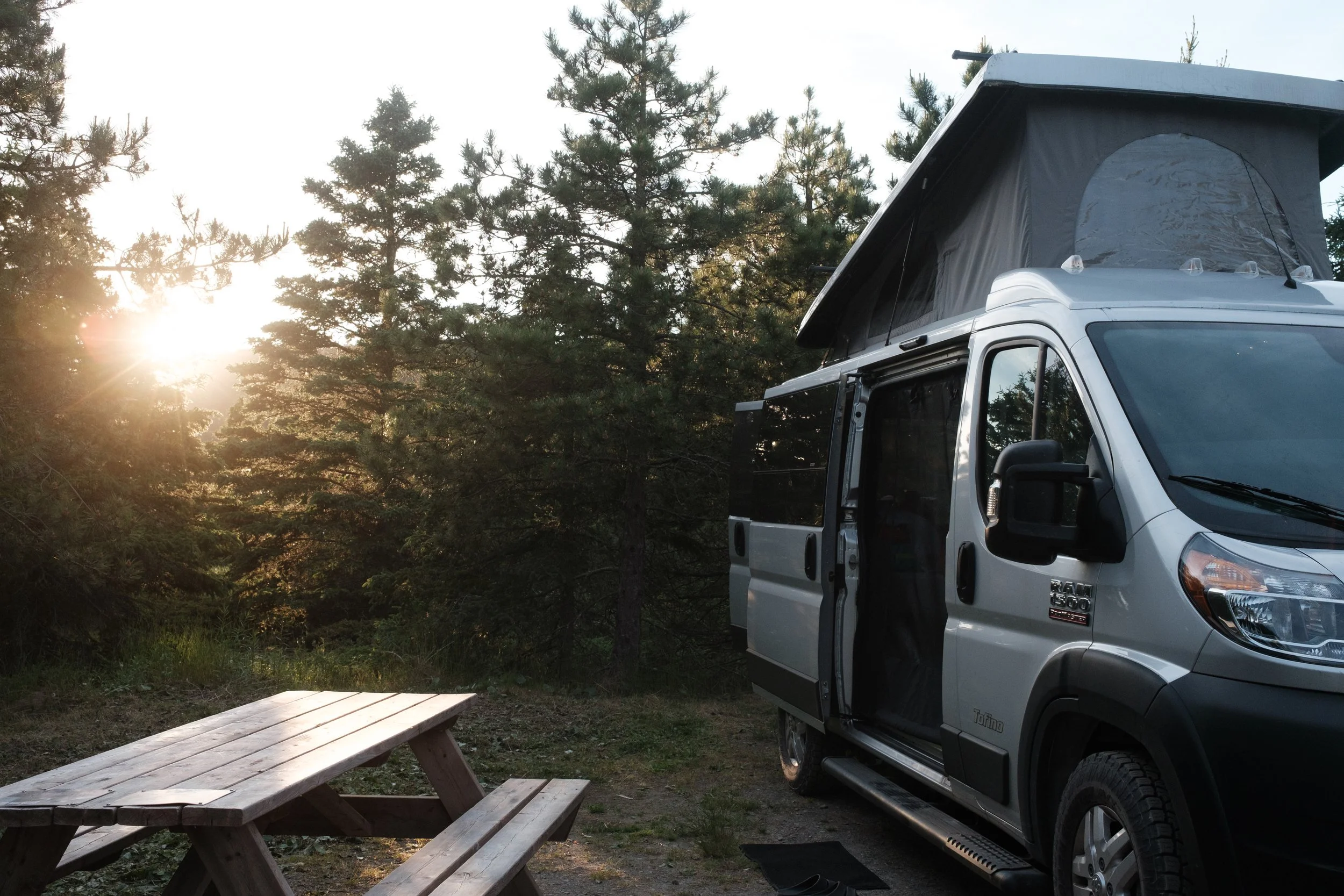
Fully satiated and ready to relax back at our campsite and explore the campground a bit more, we headed back to Tombolo Campground (site #52) in Bic NP. We relaxed, walked down to the water, marveled at the incredible facilities in the campground (seriously, Canada’s parks are so impressive—and so clean!!), stopped to read about the steeple that remained from what was a summer camp founded by Father Louis-Georges Lamontagne, relaxed in the hammocks, and finally, settled into our van to mark the end of day 2 and our first full day exploring the Québec maritime region. Tomorrow, we’ll move up the coast and into the mountains of Gaspésie!